NH - Hale traverse
- Gen-Hike
- 16 nov. 2024
- 4 min de lecture
* English version at the bottom.
Bretton Woods. Montagnes Blanches. Frais d'accès : Gratuit (parking Hale brook Trail). Ouvert annuellement. Chiens permis.
Altitude de 1234 m.
Listes : Northeast 111 4000-footers - AMC New England Hundred Highest - NH4000 Footers - New England 4000 Footers
Traverse de 11 km D+ 800 m. Niveau : intermédiaire.
Accès : Point A : North Twin Trailhead au bout de Haystack Road --- Point B : Hale Brook Trailhead sur Zealand Rd Ces routes sont fermées l'hiver et ouvre habituellement vers la fin mai.
Pour le stationnement de Hale, il vous faudra prévoir marcher environ 5 km de plus à votre randonnée et stationnez votre véhicule sur la 302 dans le stationnement prévu à cet effet, à 800 m (0.5 mile) de Zealand Rd.
Pour North Twin Trailhead, stationnez vous au Seven Dwarfs Motel et payez les frais. Vous aurez a marcher pour rejoindre le début du sentier. Suivez Google ou Alltrails.
Autre option pour gravir Hale isolément:
Se stationner au bout de la Haystack Road au North Twin Trailhead (fermée en hiver) et gravir le sentier via Fire Warden Trail (sentier non officiel) par le sentier "North Twin Trail". Cette option est plus courte.
Hale Brook Trail en aller-retour
Le départ de cette traverse du côté Ouest se fait via North twin trail. Une marche rapide d'environ 1,6 km (1 mile) pour aller rejoindre la Fire Warden Trail. Utilisez Alltrail pour trouver le début de ce sentier sur votre gauche. Cette trail est un sentier « abandonné » depuis 1972 et n'est plus entretenu par le Forest Service. Bien qu'il ait été abandonné et retiré des cartes officielles, il est toujours entretenu officieusement par des randonneurs bénévoles.
Bien que la montée soit régulière jusqu'au sommet de Hale, il ne s'agit pas d'une montée abrupte, de sorte que vous pouvez maintenir un rythme assez régulier jusqu'au sommet. J'ai vraiment aimé ce sentier bordé par les arbres. Tout près du sommet, vous aurez également une vue sur les environs en temps dégagé. Soyez vigilant, il faudra vous retourner durant la montée pour l'admirer.
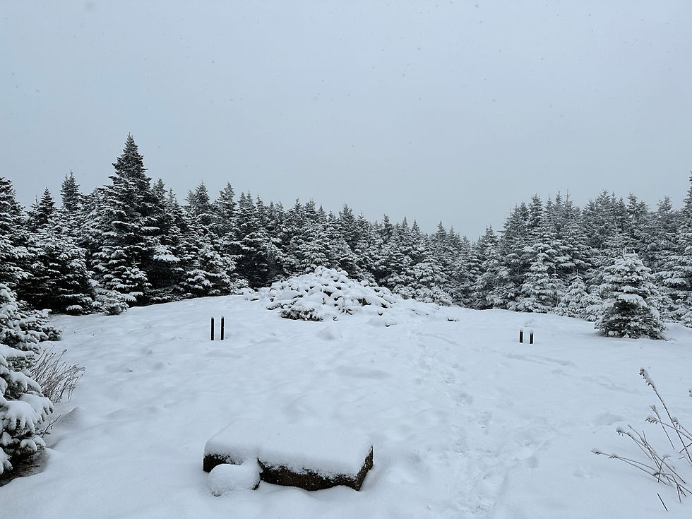
Le sommet de Hale est orné d'un immense cairn. Boisé, nous n'aurez aucune vue.
La descente via la Hale Brook trail sera escarpée et exigeante au travers les roches et racines, mais il ne s'agit que de prendre son temps et vous n'aurez aucun problème à parcourir cette portion. La descente en lacets vous aidera grandement à adoucir la descente.
Voilà ! Une option intéressante pour varier le plaisir afin d'aller chercher ce sommet mal aimé.
Le sommet de Hale :

Bretton Woods. White Mountains. Access fees: Free (Hale Brook Trail parking lot). Open annually. Dogs permitted.
Altitude of 1234 m.
Lists: Northeast 111 4000-footers - AMC New England Hundred Highest - NH4000 Footers - New England 4000 Footers
11 km crossing D+ 800 m. Level: intermediate.
Access : Point A: North Twin Trailhead at the end of Haystack Road --- Point B: Hale Brook Trailhead on Zealand Rd These roads are closed in winter and usually open in late May.
To park at Hale, you'll need to plan on walking an extra 5 km or so after your hike, and park your vehicle on 302 in the designated parking lot, 800 m (0.5 mile) from Zealand Rd.
For North Twin Trailhead, park at the Seven Dwarfs Motel and pay the fee. You'll have to walk to the trailhead. Follow Google or Alltrails.
Another option for climbing Hale in isolation:
Park at the end of Haystack Road at the North Twin Trailhead (closed in winter) and climb the trail via Fire Warden Trail (unofficial trail) by the “North Twin Trail”. This option is shorter.
A traverse via Fire Warden + Hale Brook Trail is also possible, for a total of approx. 11 km D+ 800m.
Hale Brook Trail round trip
The start of this traverse on the west side is via North twin trail. A brisk 1.6 km (1 mile) walk to the Fire Warden Trail. Use Alltrail to find the trailhead on your left. This trail has been “abandoned” since 1972 and is no longer maintained by the Forest Service. Although it has been abandoned and removed from official maps, it is still maintained unofficially by volunteer hikers.
Although it's a steady climb to the top of Hale, it's not a steep climb, so you can maintain a fairly steady pace all the way to the top. I really enjoyed this tree-lined trail. Close to the summit, you'll also have a view of the surrounding area on a clear day. Be careful, you'll have to turn around on the way up to admire it.
The summit of Hale is adorned with a huge cairn. Wooded, you won't have a view.
The descent via the Hale Brook trail will be steep and demanding through rocks and roots, but it's all about taking your time and you'll have no trouble getting through this section. The winding descent is a great help in smoothing out the ride.
That's it ! An interesting option for varying the pleasure of seeking out this little-loved summit.


Comentários